Arrival in Frankfurt airport and reassembling the bikes was much easier than we thought. A few small tears in the bike bag - I guess the end bits of the fork are rather pokey! But the bikes themselves are absolutely fine.
We downloaded KOMOOT which seems to have a lot of data (crowd-sourced and based on open street map) on bike and hiking routes, and we hope to be able to mostly avoid main roads.
After being cooped up in an airplane for 9 hours, the feeling of walking out of the airport and immediately getting on the bike ... euphoric.
The road in front of Frankfurt airport is under construction, and finding our way to the bike path was a bit tricky as the usual way had been blocked off - we had to carry the bikes up some stairs and walk on the side walk for a bit - took about 10 minutes.
But the ride to Mainz was glorious. Very shortly after leaving the airport, the route took us on a dedicated bike path through a park with a "Spiel- und Fitnessroute" and nature restoration (see sign).
(picture credit: Michael Leonhardt) via Google maps.
The route then continues along the river Main.
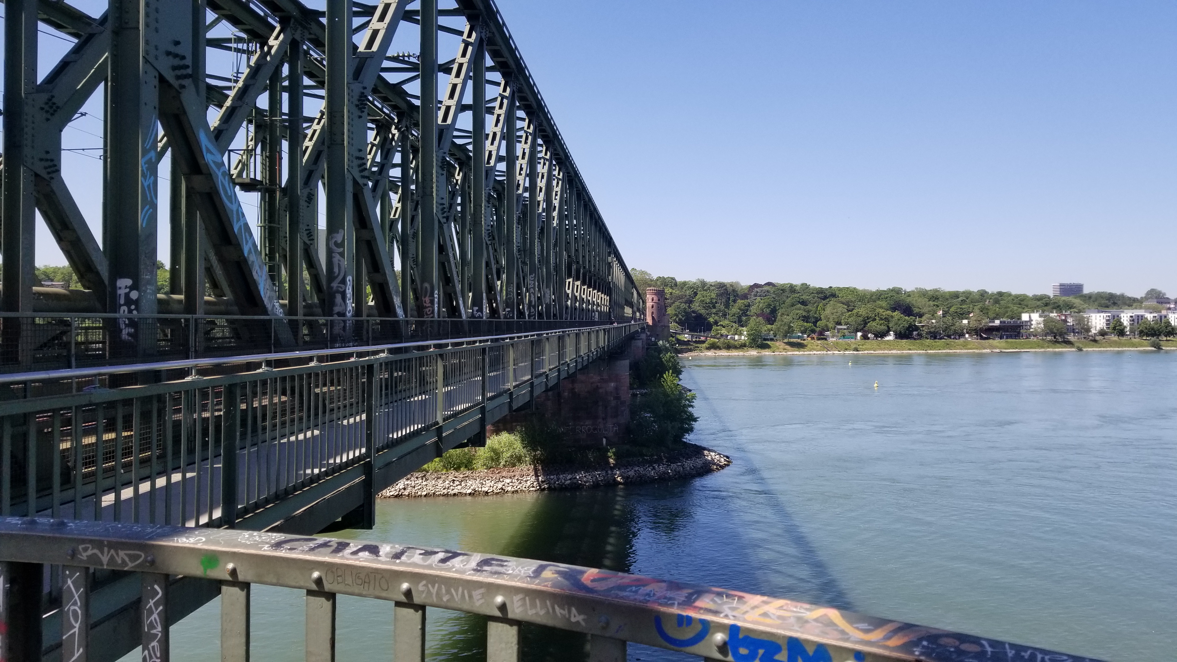
The city Mainz was built where the Rhine meets the river Main and you get to ride over the train bridge (separated path on the side) and finally now along the Rhine, bike into Mainz itself.
Add new comment